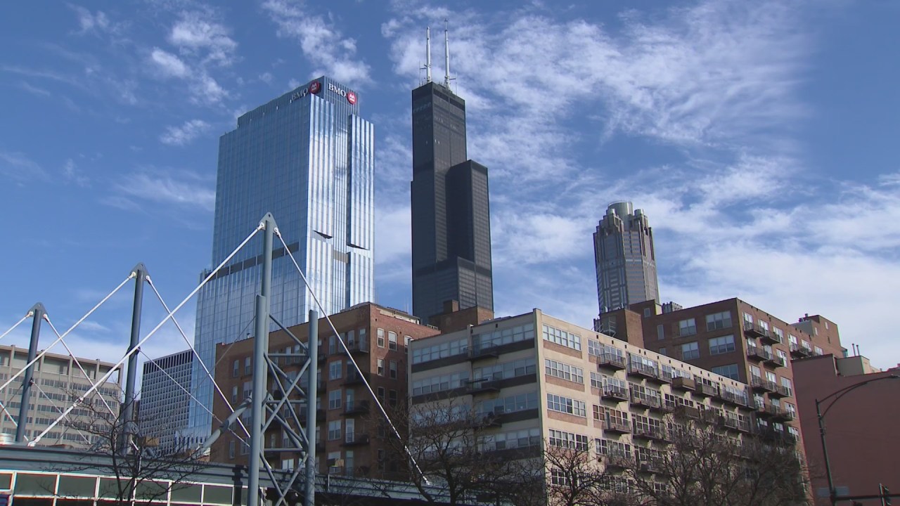
**Chicagoland Wakes Up to Sunshine and Unseasonably Warm Temperatures for the First Full Weekend of Fall**
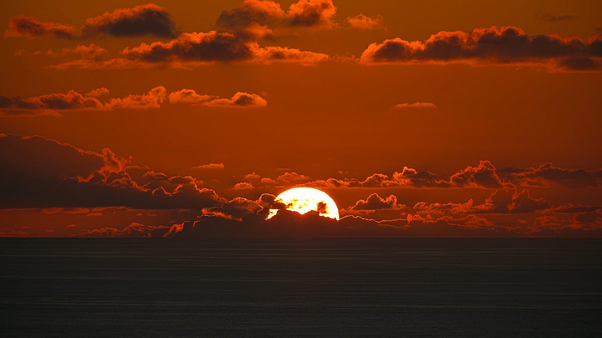
Chicagoland is starting the weekend with plenty of sunshine as a warm, pleasant stretch of weather gets underway. The first full weekend of fall brings uninterrupted sunshine, unseasonably warm temperatures, excellent visibility, and moderate humidity. Highs are expected to be more than 10 degrees above normal.
**Today’s Forecast:**
Expect mostly sunny and warm conditions for the season, with some areas experiencing morning fog. Winds will be from the west at 5-10 mph. Air quality will range from good to moderate. High temperatures will reach the mid-80s.
**Tonight:**
Skies will remain mostly clear and comfortable overnight. Winds will shift to the NNE at 5-10 mph. Overnight lows will dip into the lower 60s within the city and mid to upper 50s in outlying areas.
**Tomorrow:**
Saturday will be mainly sunny and a bit cooler, especially along the lakeshore. Winds will continue from the NNE at 5-15 mph. Highs will be around 84 degrees inland, with temperatures dropping into the mid-70s along the lakefront in the afternoon.
—
### Weekend Temperature Overview
– **Saturday Highs:** Mid-80s inland with cooler lakefront temperatures in the mid-70s later in the day.
– **Sunday Highs:** Similar warm conditions expected, continuing the temperature surplus well above normal.
—
### Extended Outlook
Looking ahead to early next week, warm and sunny weather will continue through Monday, with highs in the mid to low 80s. Temperatures will then cool slightly on Tuesday, dropping into the mid to upper 70s as September comes to a close.
October begins with partly cloudy skies and highs in the mid-70s on Wednesday. Thursday will stay partly cloudy with temperatures in the seasonal mid to low 70s. By Friday and through the weekend, highs will rebound to the upper 70s and low 80s. At this time, no rain is currently expected.
—
### Temperature Anomalies & Climate Notes
The forecast maximum temperature anomaly from Sunday, September 28 through Thursday, October 2 highlights well above normal temperatures across the Northern Plains, Upper Midwest, Great Lakes, and even portions of the Northeast.
An 850 millibar temperature anomaly map (about one mile above the surface) – a good indicator of surface temperature trends – shows dominant red and orange shading signaling above to much above normal temperatures. Blue areas, indicating cooler conditions, are minimal. Overall, above normal temperatures will remain firmly in control for at least the next 7-8 days, with only minor cooling possible late next weekend, coinciding with the first full weekend of October.
—
### Rainfall Outlook
There is zero rainfall expected across a large part of the Midwest for at least the next week. This dry stretch will likely worsen the current drought conditions affecting the region.
—
Stay updated with the latest from the WGN Weather Center blog for continued coverage on Chicagoland’s weather and climate trends.
https://wgntv.com/weather/chicago-weather-saturday-09272025/